

Running Trails

The High Tatras are one of the best locations in Slovakia for active movement. Not only the altitude but also the exceptional climate is suitable for lovers of movement in our region.
During 2015, the first 67 km of the originally planned 109 km of cross-country trails were marked. The circuits from Tatranské Matliare to Vyšné Hágy are marked so far.
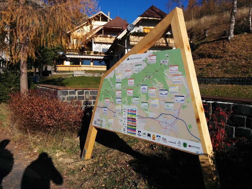
Complete map of trails: mapa
The map of running trails “Tatry in motion”: mapa Tatry v pohybe
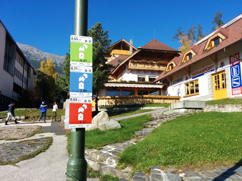
Boards:
Main boards (marked with numbers on the map) – describe all circuits, directions, elevations, kilometers, etc.
Direction indicators – determine the direction of individual circuits and distances.
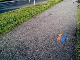
The arrows on the trails are additional markings to the boards.
Tips for running: